RARE AND ANTIQUE MAPS OF SWITZERLAND |
Thumbnail
(Click to enlarge) |
Title / Publisher
Date
Size
|
| 
click thumbnail for more info
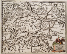
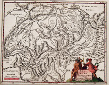
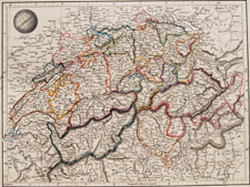
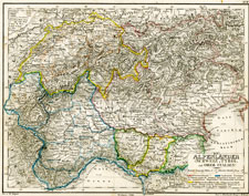
SWISS-1 |
Amsterdam, 1697
approx. 11 x 9.25 inches
|
| 
click thumbnail for more info
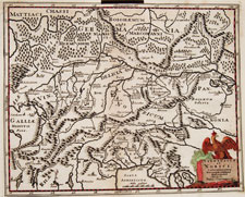
SWISS-2 |
Amsterdam, 1697
approx. 11 x 9.25 inches
|
| 
click thumbnail for more info
SWISS-5 |
circa 1701
approx. 5.75 x 5.25 inches
|
| 
click thumbnail for more info
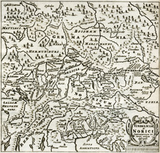
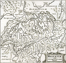
SWISS-3 |
Helvetia
Phillippi Cluverii
"Introductio in universam Geographiam"
Amsterdam, 1697
approx. 11 x 9.25 inches
|
| 
click thumbnail for more info
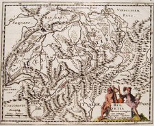
SWISS-4 |
Helvetia
Phillippi Cluverii
"Introductio in universam Geographiam"
Amsterdam, 1697
approx. 11 x 9.25 inches
|
| 
click thumbnail for more info
SWISS-21 |
"Helvetia"
by Philippi Cluverii for "Introductionis in universam geographiam"
circa 1701
approx. 5.75 x 5.25 inches
|
| 
click thumbnail for more info
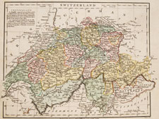
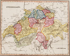
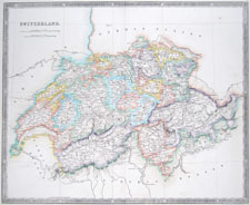
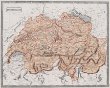
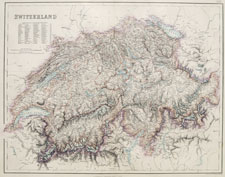
SWISS-6 |
London, 1809
approx. 13.25 x 10.5 inches
|
| 
click thumbnail for more info
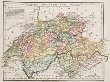
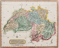
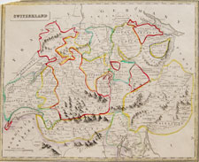
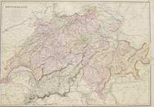
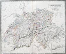
SWISS-7 |
London, 1809
approx. 13.25 x 10.5 inches
|
| 
click thumbnail for more info
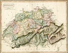
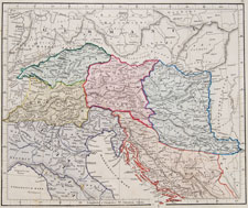
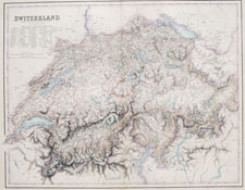
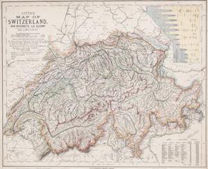
SWISS-8 |
London, 1811
approx. 13.25 x 10.5 inches
|
| 
click thumbnail for more info
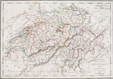
SWISS-9 |
London, 1811
approx. 15.25 x 10.5 inches
|
| 
click thumbnail for more info
SWISS-10 |
Switzerland
Dr. Brookes's General Atlas of Modern Geography
William Darton at the Repertory of Genius,
London, 1817
approx. 9.75 x 8.25 inches
|
| 
click thumbnail for more info
SWISS-11 |
Paris, 1816 (1818)
approx. 19 x 13 inches
|
| 
click thumbnail for more info
SWISS-12 |
London, 1825
approx. 14.75 x 11.25 inches
|
| 
click thumbnail for more info
SWISS-21 |
Henry Teesdale and Co., London, 1831
approx. 18 3/4 x 15 1/4 inches
|
| 
click thumbnail for more info
SWISS-13 |
EP Williams, Eton and London, 1841
approx. 13.5 x 10.75 inches
|
| 
click thumbnail for more info
SWISS-14 |
Thomas Johnson, London, 1848
approx. 15 x 12.5 inches
|
| 
click thumbnail for more info
SWISS-15 |
Weimar, 1850
approx. 9 x 11 inches
|
| 
click thumbnail for more info
SWISS-16 |
1863
approx. 16.5 x 14 inches
|
| 
click thumbnail for more info
SWISS-17 |
Switzerland
The Comprehensive Atlas & Geography
of the World
Blackie and Son
London, Glasgow, Edinburgh & Dublin
1882
approx. 22.25 x 15.25 inches
|
| 
click thumbnail for more info
SWISS-18 |
Archibald Fullarton and Co.
Edinburgh, London & Dublin
1854-1860
approx. 29.25 x 23.5 inches
|
| 
click thumbnail for more info
SWISS-19 |
Archibald Fullarton and Co.
Edinburgh, London & Dublin
1854-1860
approx. 29.25 x 23.5 inches
|
| 
click thumbnail for more info
SWISS-20 |
Alexander Keith Johnston • Edinburgh
1850
approx. 25.75 x 21 inches
|
| |
|
| 
click thumbnail for more info
SWISS-21 |
Switzerland
1884-87, London
about 16 1/4 x 13 5/8 inches (41.3 x 34.6 cm)
|