Navigation 2023

Rare prints and maps...Since 1918! Click here to go to Darvill's home page.

Since Adirondack Retro acquired Darvill's Rare Prints in August of 2022, we have been working tirelessly on our New State-Of-The Art Website. We are excited to announce that it is now up and running and that our massive inventory of Antique Prints and Rare Maps are being transferred over to the new site daily. In addition to the nearly 500,000 prints found on www.DarvillsRarePrints.com, Adirondack Retro offers an eclectic selection of Antique and Vintage Advertisements along with their Limited Edition Giclee Prints. During this transition, customers will still be able to shop and make purchases on www.DarvillsRarePrints.com.

Sign up for our Mailing List and receive our Adirondack Retro Newsletter. When you sign up, we will email you a coupon code for you to get 15% OFF your first order at AdirondackRetro.com.


Below is a selection of antique maps of Belgium and The Netherlands (Holland).

 
BELGIUM AND THE NETHERLANDS (HOLLAND)
Thumbnail
(Click to enlarge)
Title / Publisher
Date
Size in inches

Cluver's Inferioris Germaniae
click thumbnail for more info

Belg/NL-4

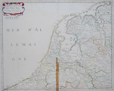
"Provinces Unies
des Pays Bas"

Nicolas Sanson, cartographer to the King of France
Cartes Generales de Toutes les Parties du Monde

1648 (1664-66)

approx. 17 1/2 x 23 1/2 inches

Cluver's Inferioris Germaniae
click thumbnail for more info

Belg/NL-5

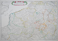
"Picardie et les Pay Bas Catholiques &c"

Nicolas Sanson, cartographer to the King of France
Cartes Generales de Toutes les Parties du Monde

1648 (1664-66)

approx. 17 1/2 x 23 1/2 inches

Cluver's Inferioris Germaniae
click thumbnail for more info

Belg/NL-33

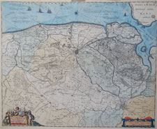
"Flandriae Teutonicae pars Orientalior"

Willem and Janszoon Blaeu, Amsterdam from Atlas Novus

circa 1635-1680

approx. 21.5 x 18.5 inches

Cluver's Inferioris Germaniae
click thumbnail for more info

Belg/NL-3

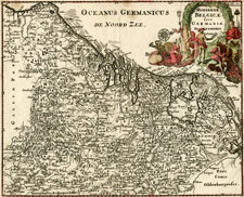
"Hodiernae Belgicae sive Germaniae Inferioris"

by Philipp Cluver for "Introductionis in universam geographiam"

1697

11.25 x 9 inches

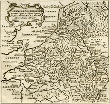
Cluver's Germaniae Cisrhenanae
click thumbnail for more info

Belg/NL-1

"Germaniae Cisrhenanae..."

by Philipp Cluver for "Introductionis in universam geographiam"

ca. 1701

5.25 x 5.25 inches

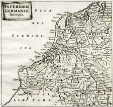
Cluver's Inferioris Germaniae
click thumbnail for more info

Belg/NL-2

"Inferioris Germaniae"

by Philipp Cluver for "Introductionis in universam geographiam"

ca. 1701

5.25 x 5.25 inches

Cluver's Inferioris Germaniae
click thumbnail for more info

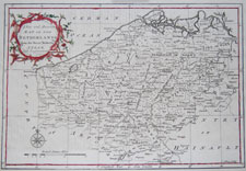
Belg/NL-6

"A New and Accurate Map of the Netherlands
from the Sieur Roberts Atlas, with Improvements"

engraved by J. Gibson
Sieur Roberts Atlas

1764

approx. 14.25 x 8.75 inches

Cluver's Inferioris Germaniae
click thumbnail for more info

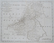
Belg/NL-7

"A Map of the Seven United Provinces: with the Dutch, Austrian, and French Netherlands"

engraved by Thomas Bowen
Bankes's New System of Geography?

circa 1790

approx. 15.25 x 9.5 inches

Cluver's Inferioris Germaniae
click thumbnail for more info

Belg/NL-8

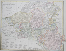
The Netherlands with Liege

engraved by Froggett
Wilkinson's General Atlas of the World

1809

approx. 13.25 x 10.5 inches

Cluver's Inferioris Germaniae
click thumbnail for more info

Belg/NL-9

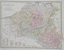
The Netherlands with Liege

engraved by Froggett
Wilkinson's General Atlas of the World

1809

approx. 13.25 x 10.5 inches

Cluver's Inferioris Germaniae
click thumbnail for more info

Belg/NL-10

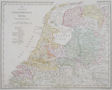
The Seven United Provinces with their Dependencies

engraved by B. Baker
Wilkinson's General Atlas of the World

1799 (1809)

approx. 13.25 x 10.5 inches

Cluver's Inferioris Germaniae
click thumbnail for more info

Belg/NL-11

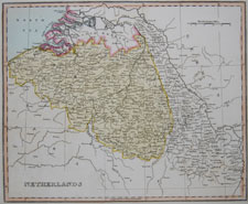
Netherlands

Ellis's General Atlas of the World

1811

approx. 13.25 x 10.5 inches

Cluver's Inferioris Germaniae
click thumbnail for more info

Belg/NL-12

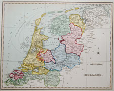
Holland

Ellis's General Atlas of the World

1811

approx. 13.25 x 10.5 inches

Cluver's Inferioris Germaniae
click thumbnail for more info

Belg/NL-13

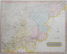
Holland

Oddy's New General Atlas of the World

1811

approx. 15.25 x 10 inches

Cluver's Inferioris Germaniae
click thumbnail for more info

Belg/NL-14

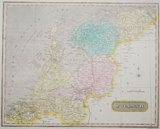
Holland

Oddy's New General Atlas of the World

1811

approx. 15.25 x 10 inches

NEXT PAGE OF BELGIUM/NETHERLANDS MAPS